Digitise your real estate with GIS Georeferencing Software
Infocad integrates with GIS mapping technologies such as Autodesk MapGuide and Google Maps, enabling the geolocation of real estate and infrastructure assets. This integration extends the applicability of management and maintenance processes to large-scale distributed entities such as public green spaces, archaeological sites and bridges.
The integration between the information system and GIS tools broadens perspectives, simplifying geo-marketing and enabling precise location and contextualisation of assets.
Make operations efficient with GIS Georeferencing Software
Integrating Infocad’s GIS georeferencing software offers numerous advantages such as optimising the management of geospatial data, enabling clear and detailed visualisation of information on interactive maps.
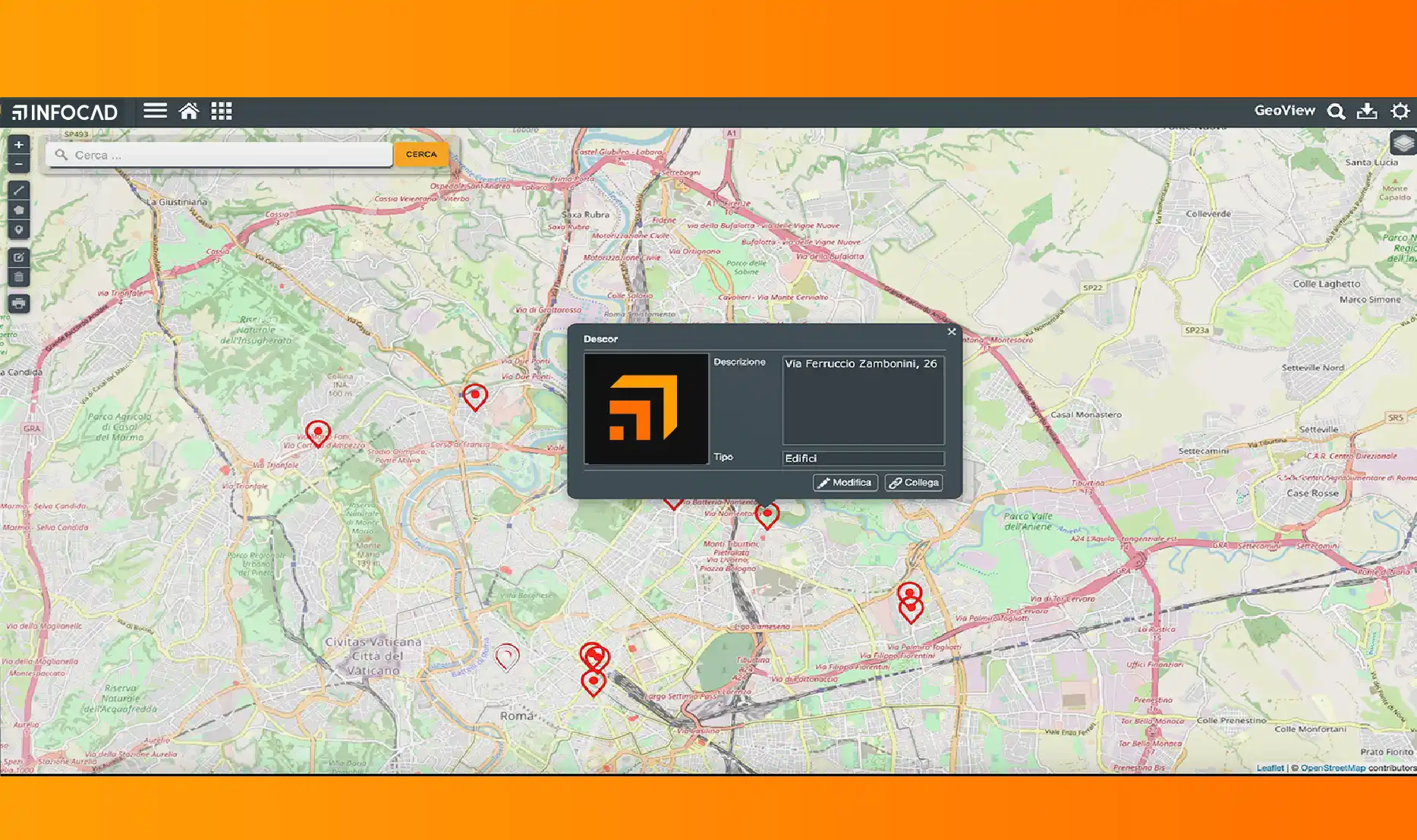
GeoView Consultation
Extension of management processes
Enhancement of GIS functionality
Consultazione GeoView
Estensione dei processi gestionali
Potenziamento delle funzionalità GIS
Fill in the form and request a free live demo
Request a free live demo
Fill in the following form and you will be contacted immediately to book a personalised platform presentation:
Maps must be georeferenced and rectified to ensure accuracy and appropriate use of spatial information. Georeferencing associates map data with specific geographic coordinates on the earth's surface, enabling the correct positioning of features on the map with respect to the real world.
Georeferencing is the process of assigning geographical coordinates to an object, such as a point of interest, an address or an image, so that it can be positioned on the earth's surface.
You can request a free live demo in the ‘book a demo’ section. Our experts provide training support and, in addition, you will always have access to video help desk and call centre support.